Explainer: what’s up with Forfar Street?

The closure of Forfar Street on the north side of the Forfar/Warrington intersection is one of a suite of changes made by the Council as part of the Downstream Effects Management Plan (DEMP). The DEMP is a programme of work intended to identify and address downstream effects of.the Christchurch Northern Corridor (CNC). You can read more about the DEMP decision-making process in my previous article.

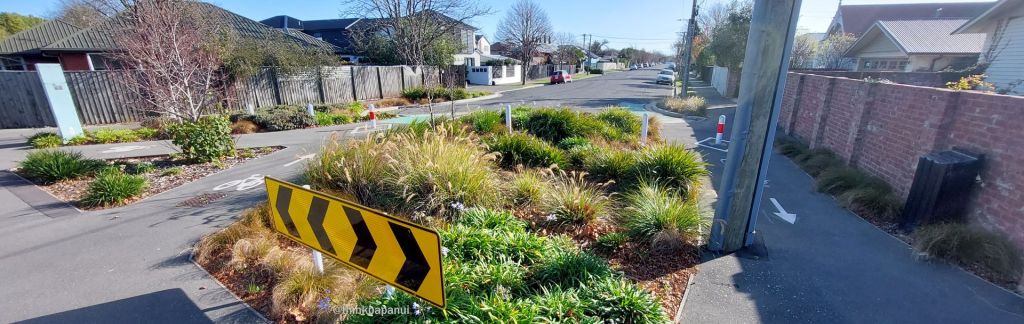
A consequence of Forfar’s closure is that local traffic is left with fewer options to move through that area, impacting other streets, especially adjacent Francis Avenue. Is this unreasonable? If the Council re-opened Forfar Street would it make life better for locals? Questions over the continued closure of Forfar Street come up from time to time, and in April 2026 Council staff provided the following information on the matter:

Continue reading “Explainer: what’s up with Forfar Street?”

Explanation: changes to Papanui Ward boundaries in 2022

The Christchurch City Council’s 2021 representation review resulted in two significant changes to Papanui Ward from the 2022 election onwards: adjustments to the Ward’s boundaries; and also a change to the overall Community Board area.

Papanui Ward boundaries for the 2022 election. Image source: Christchurch City Council.

I have previously written about the Papanui Ward – see my 2019 article for an exploration of the area that it covers, (noting that the boundaries are changing as described below). This current article focuses on what’s changing. From the 2022 election onwards the composition of the Community Board also changes – Papanui and Innes Wards are joined by Central Ward to form the Waipapa/Papanui-Innes-Central Community Board.

Continue reading “Explanation: changes to Papanui Ward boundaries in 2022”