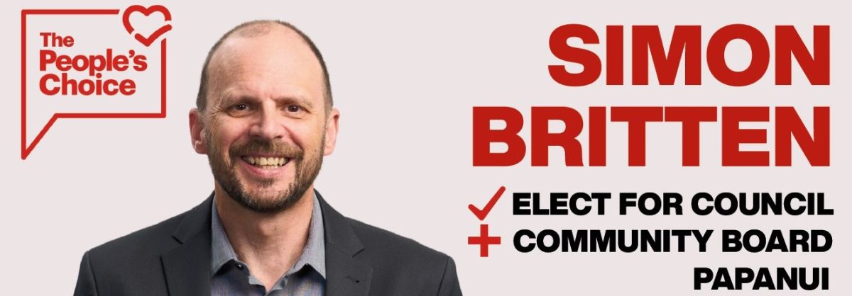
Analysis: the recent announcement that Kmart was moving to Papanui raised some questions about safety and traffic volumes, especially at the intersection of Langdons Road and Greers Road. I’m having trouble reconciling advice given to the Waipapa/Papanui-Innes Community Board with what I’ve been reading in the retail development’s Resource Consent. Continue reading “No solution in sight for traffic pressures on Langdons Road?”
Tag: Analysis
Exploring Papanui Ward
[2022 update: this article refers to the Papanui Ward boundaries as they existed from 2016 to 2022. Following the Council’s 2021 representation review, changes to boundaries will apply from the 2022 election. Changes are noted in an article published in July 2022.]
Analysis: Papanui Ward is one of 19 wards & subdivisions that the city of Christchurch is divided into for local government representation. It has a population of around 25,000 people and includes a whole lot more than just the suburb of Papanui. It’s where I make my home, where I work, and where my children attend school. It’s also the area of focus for Think Papanui. So, where exactly is Papanui Ward and how do readers know if they’re part of it? Here’s a brief overview and a visual tour of some parts of the Ward.
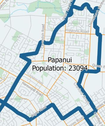
Papanui Ward is described in detail on the Christchurch City Council website. (If you want to check what Ward you live in, you can use the Council’s interactive online map.)
Candidates elected to represent the Papanui Ward in 2019 will be part of the Waipapa/Papanui-Innes Community Board, so will be making decisions across a much larger population and geographic area than just Papanui (link to 2016 map). The Papanui Councillor will also be part of decisions that affect the whole city, or parts other than Papanui. Continue reading “Exploring Papanui Ward”
Papanui impacted by proposed school zone and roll changes
Analysis: the Papanui area will be impacted by proposed changes to zones and the capacity of Christchurch high schools arising from a review that aims to reduce out of zone enrolments across the city.
[Edit January 2020: see this article for details of the outcome for Papanui and Burnside High Schools, including their zones for 2020 and a further change planned for 2022.]
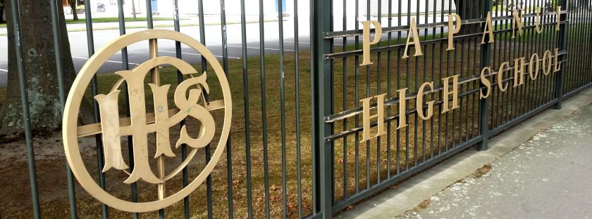
The school zone boundary between Burnside and Papanui High Schools is set to change – by 2022 the boundary is proposed to move closer towards Papanui. Continue reading “Papanui impacted by proposed school zone and roll changes”
